This Map shows you, how far people have to go to the next infrastructure like schools, hospitals, banks etc. It might be a useful tool for overlanders as well.

https://maps.ox.ac.uk/explorer/#/explorer

This Map shows you, how far people have to go to the next infrastructure like schools, hospitals, banks etc. It might be a useful tool for overlanders as well.
https://maps.ox.ac.uk/explorer/#/explorer
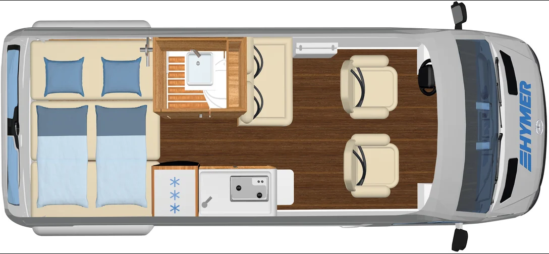
Fortsetzung von Teil I Nach nochmaligem Besuch der Hausmesse bei Hymer in Bad Waldsee ist es nun ein Grand Canyon S (CGS) […]
Roland was sitting at his desk when I came up. ” We should write something about the marriage”, he said. I was […]
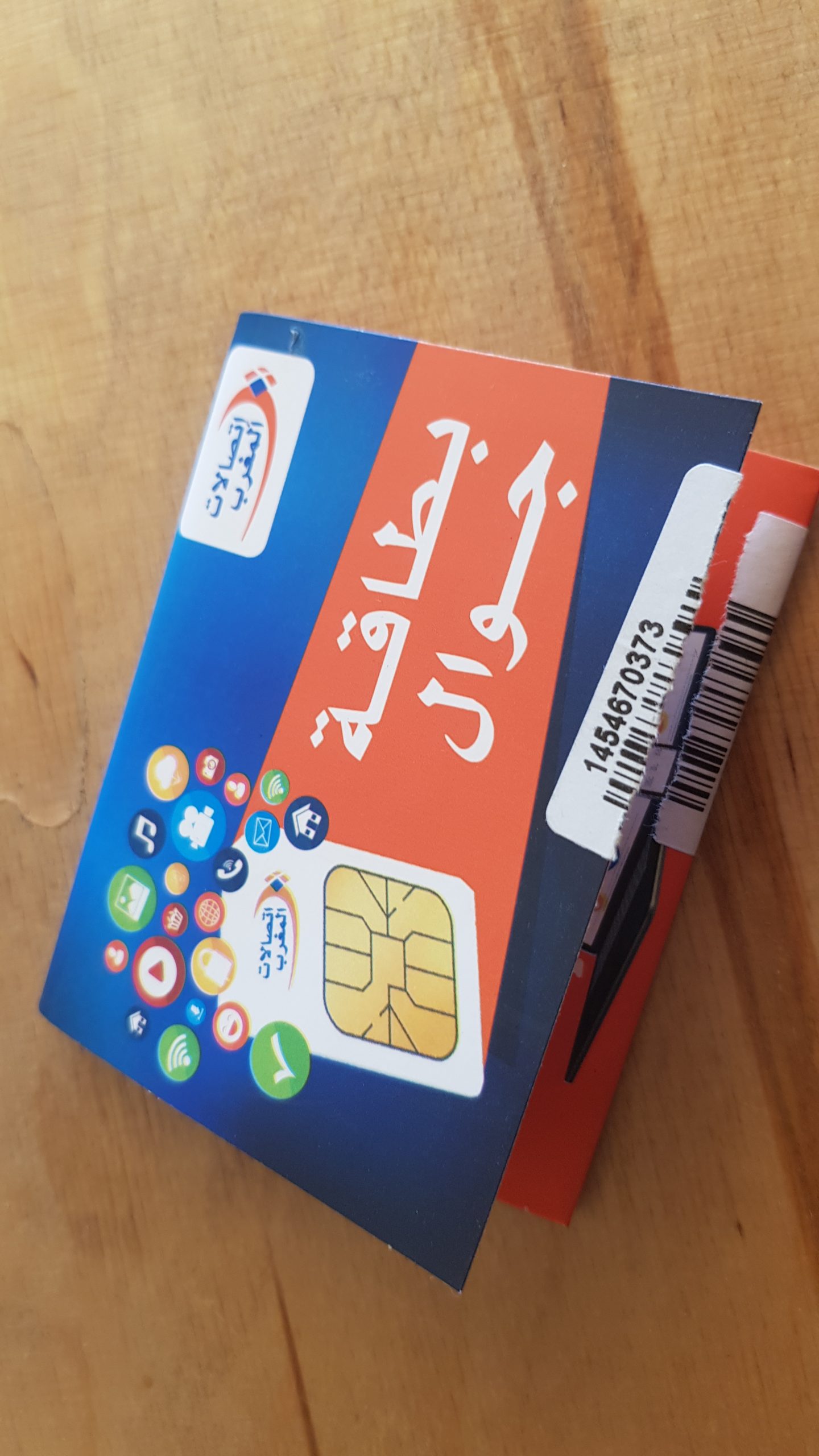
Es ist sinnvoll in allen Reisländern eine lokale SIM-Karte zu besorgen. In Marokko kostet die SIM-Karte 30 Dirham entsprechen 3 €. Man […]
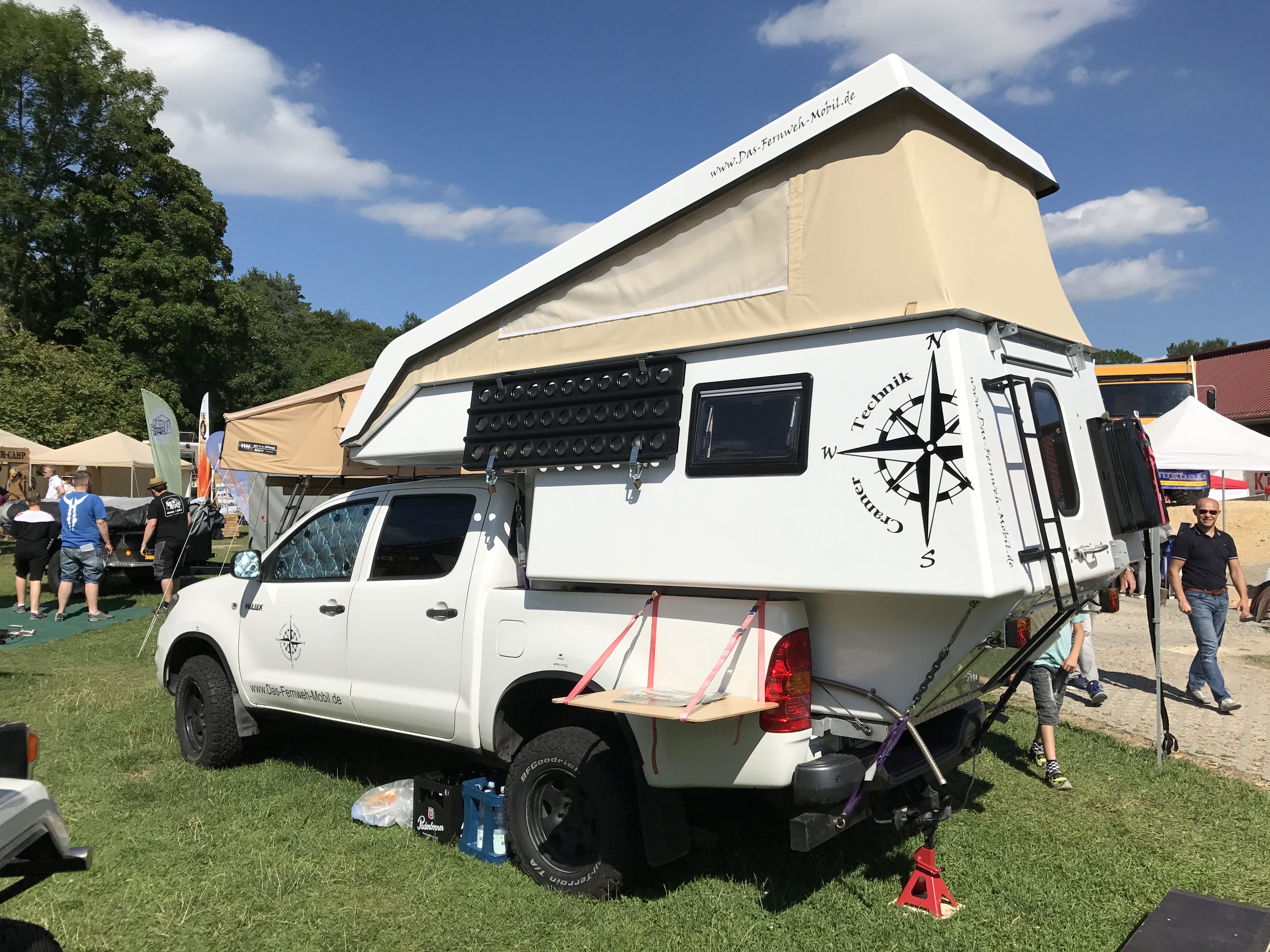
After the experience in Marocco we wanted our traveling to be continued with the dream of independence while having our home with […]


